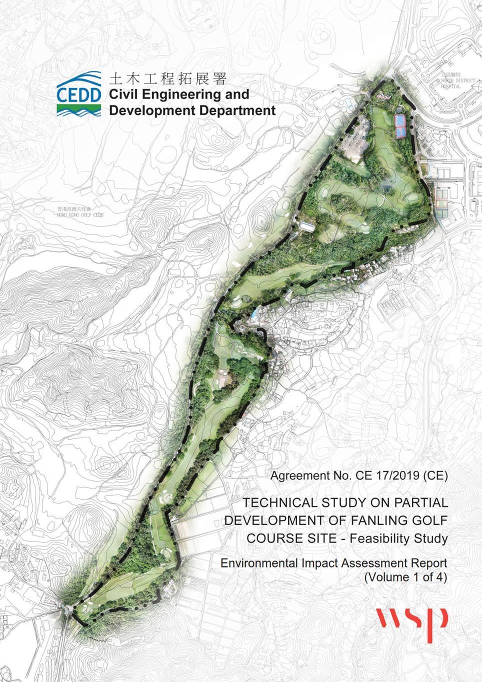
TECHNICAL STUDY ON PARTIAL DEVELOPMENT OF FANLING GOLF COURSE SITE – FEASIBILITY STUDY
ENVIRONMENT IMPACT ASSESSMENT REPORT
CONTENTS
1.1 Background
1.2 Scope of this Project
1.3 EIA Study Brief
1.4 Designated Project
1.5 Potential Development Area
1.6 Project Benefits, Green and Environmental Initiative
1.7 Concurrent Projects
1.8 Objective of the EIA Report
1.9 Structure of EIA Report
2.1 Need of the Project
2.2 Site Location and History
2.3 Predicted Future Without the Proposed Development
2.4 Development and Environmental Opportunities
2.5 Public Consultation
2.6 Formulation of Development Options
2.7 Examination of Development Options
2.8 Recommended Development Parameters and Land Use in Sub-Area 1
2.9 Land Use in Sub-Area 2 to 4
2.10 Key Infrastructure
2.11 Proposed Construction Methodologies and Alternatives
2.12 Implementation Programme
3.1 Introduction
3.2 Environmental Legislations, Standards and Guidelines
3.3 Baseline Condition
3.4 Air Sensitive Receivers
3.5 Identification of Environmental Impacts
3.6 Construction Phase Assessment Methodology
3.7 Construction Assessment Results
3.8 Operation Phase Assessment Methodology
3.9 Operation Phase Assessment Results
3.10 Conclusion and Recommendations
TABLES
Table 1.1 Concurrent Projects
Table 2.1 Key Comments Received during Public Inspection Period of Project Profile
Table 2.2 Summary of Evaluation of Development Options
Table 2.3 Summary of Development Parameters
Table 2.4 Comparison of Benefits and Disbenefits between Different Construction Methods for Retaining Structures in the Housing Site
Table 2.5 Summary of Tentative Implementation Programme
Table 3.2.1 Hong Kong Air Quality Objectives (AQOs)
Table 3.3.1 Ambient Air Quality from 2016 – 2020 at Tai Po AQMS
Table 3.3.2 Summary of PATH Background Concentration in Year 2025
Table 3.4.1 Representative ASRs in the vicinity of the Project
Table 3.5.1 Summary of Potential Concurrent Projects for Construction Dust Impact
Table 3.6.1 Emission Factors for Construction Dust Impact Assessment
Table 3.6.2 Particle Size Distribution
Table 3.7.1 Predicted TSP Concentration at Worst Affected Level of ASRs – Unmitigated Scenario
Table 3.7.2 Predicted PM10 Concentration at Worst Affected Level of ASRs – Unmitigated Scenario
Table 3.7.3 Predicted PM2.5 Concentration at Worst Affected Level of ASRs – Unmitigated Scenario
Table 3.7.4 Predicted TSP Concentration at Worst Affected Level of ASRs – Mitigated Scenario
Table 3.7.5 Predicted PM10 Concentration at Worst Affected Level of ASRs – Mitigated Scenario
Table 3.7.6 Predicted PM2.5 Concentration at Worst Affected Level of ASRs – Mitigated Scenario
Table 3.8.1 Standard Deviation of Wind Angles for the Assessment
Table 3.9.1 Predicted NO2 Concentration at Worst Affected Level of ASRs – Operation Phase
Table 3.9.2 Predicted PM10 Concentration at Worst Affected Level of ASRs – Operation Phase
Table 3.9.3 Predicted PM2.5 Concentration at Worst Affected Level of ASRs – Operation Phase
Table 3.9.4 Predicted NO2 Concentrations under With and Without Project Scenarios
Table 3.9.5 Predicted PM10 Concentration under With and Without Project Scenarios
Table 3.9.6 Predicted PM2.5 Concentration under With and Without Project Scenarios
FIGURES
Figure 1.1 Location of the Project
Figure 1.2 Locations of Concurrent Projects
Figure 2.1 Delineation of Sub-Area 1 to Sub-Area 4
Figure 2.2 Notional Layout Plan of Proposed Housing Development
Figure 2.3 Notional Layout Plan of Proposed Housing Development – Section
Figure 3.1a Assessment Area for Air Quality Impact Assessment Construction Phase
Figure 3.1b Assessment Area for Air Quality Impact Assessment Operation Phase
Figure 3.2a Locations of Representative Air Sensitive Receivers for Construction Phase
Figure 3.2b Locations of Representative Air Sensitive Receivers (Outside Development Area)
Figure 3.2f Locations of Representative Air Sensitive Receivers (Within Development Area)
Figure 3.3 Locations of Public Transport Interchange and Chimneys
Figure 3.4 Locations of Traffic Noise Mitigation for Air Quality Impact Assessment
Figure 3.6a Contours of Cumulative 19th Hourly NO2 Concentrations at 1.5mAG (Operational Phase)
Figure 3.6b Contours of Cumulative Annual NO2 Concentrations at 1.5mAG (Operational Phase)
Figure 3.6c Contours of Cumulative 10th Daily PM10 Concentrations at 1.5mAG (Operational Phase)
Figure 3.6d Contours of Cumulative Annual PM10 Concentrations at 1.5mAG (Operational Phase)
Figure 3.6e Contours of Cumulative 19th Daily PM2.5 Concentrations at 1.5mAG (Operational Phase)
Figure 3.6f Contours of Cumulative 36th Daily PM2.5 Concentrations at 1.5mAG (Operational Phase)
Figure 3.6g Contours of Cumulative Annual FSP Concentrations at 1.5mAG (Operational Phase)
APPENDICES
Appendix 3.2 Construction Programme, Dust Emission Inventory and Source Locations
Appendix 3.3 Detailed Construction Dust Results
Appendix 3.4 Traffic Forecast, Speed Profiles and Grouping
Appendix 3.5 Trips and Vehicle-Kilometre-Travelled (VKT)
Appendix 3.6 2019 Meteorological Data (Sheung Shui Station)
Appendix 3.7 Vehicular Emission Factors
Appendix 3.9 Surface Parameters for AERMOD Meteorological Data
Appendix 3.10 Emission Inventory and Calculations on Chimneys
Appendix 3.11 Emission Inventory and Calculations on PTIs
Appendix 3.12 Emission Inventory and Calculations on Carparks